The idea underlying the construction of the Central Industrial Region was mainly the necessity to prepare Poland for a possible war and the intention to stimulate the economic growth of the most neglected areas of the country. Confronted with the arms race going on in Europe, Poland was forced to make an effort to expand its military industry while, simultaneously, boosting civilian production. Only complex activities could produce an effective response to the challenges faced by the re-emergent Poland in the late 1930s.
The location of the Central Industrial Region in the fork of the rivers Vistula and San was motivated by comprehensive analyses of the issues related to Poland’s defences, boosting raw material mining, industrial growth, transportation link development, demography, social relationships, as well as unemployment prevention. The territory of the CIR comprised the area of four provinces at the time, namely those of Kielce, Kraków, Lublin and Lwów (today’s Lviv). Its total area amounted to about 60 thousand km2.
Originally, the CIR was subdivided into three zones of separate functions. Zone ‘A’ (with Kielce and Radom as major towns) was to ensure the raw material supply. Zone ‘B’ (around Lublin) provided agricultural produce and food. Zone ‘C’ (with Rzeszów and Sandomierz) was the very heart of the Region, responsible for manufacturing and processing operations. In time, these specializations became blurred, with varied investment projects launched throughout the whole Region.
The Central Industrial Region became Poland’s largest industrial project in the inter-war period. Prepared both in civilian and military planning offices, it was also one of the very first European inter-regional projects, linking the growth of industry, commerce and agriculture to social issues. Despite the short time of its operation, the unusual political context and the complicated international situation, it has left its mark on the landscape and history of the country.
The programme implemented in the Central Industrial Region involved infrastructural, industrial, construction and transportation projects. Special attention was paid to power industry and multidimensional development. The planners hoped for the synergy effect, with capital investments stimulating the economic growth and resulting in further development. Overcoming a recent crisis, Poland needed to expand the core elements of its infrastructure to ensure the appropriate operation of the whole state.
The largest electrification project was the high-voltage line connecting Mościce and Starachowice. A high-voltage line was built from Mościce, via Dębica, to Rzeszów, as well as the Ostrowiec–Sandomierz transmission line. A 300-kilometre-long section of the Central Gas Pipeline was built, which was to join Gorlice, Jasło, Krosno, Ostrowiec and Warszawa. To ensure the power supply, the construction of an artificial lake began in Czchów, a hydroelectric power plant continued to be built on the Dunajec in Rożnów. The construction of the reservoirs in Porąbka, Czorsztyn and Myczkowce was in full swing.
The transportation network in the CIR was expanded by about 6,750 km of new paved or tarmac roads in the years 1936–1939. Railways connected Rzeszów and Sandomierz, as well as Warszawa and Ostrowiec Świętokrzyski (via Radom). Also, 280 km of rivers were regulated with a view to using the Vistula as a transportation channel.
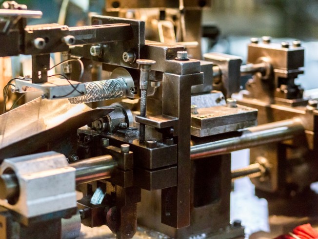
All branches of industry were expanded simultaneously. Until 1939, a few dozen large plants had been built, of varied potentials and functions. The Ministry of Military Affairs became the strategic investor, so the factories constructed under its aegis manufactured equipment and armaments to modernize the army. Some of the plants were also involved in civilian production.
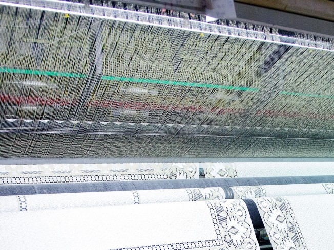
The most important plants established in the CIR included the Southern Plant (subsequently: the Stalowa Wola Steelworks), the ammunition plants in Kraśnik and Dębie, the PZL aviation plants in Mielec and Rzeszów, the Hipolit Cegielski Machine Tool Plant in Rzeszów, the Nitroza Organic Nitro-compound Plant in Sarzyna, the Lignoza formalin plant in Pustków, as well as the Chemical Plant and the Stomil Tyre Plant in Dębica. The majority of these plants have grown even further since the end of World War II and they are major players in their respective branches of industry.
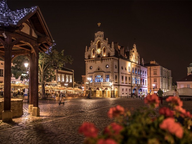
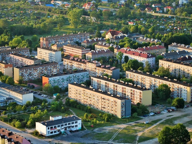
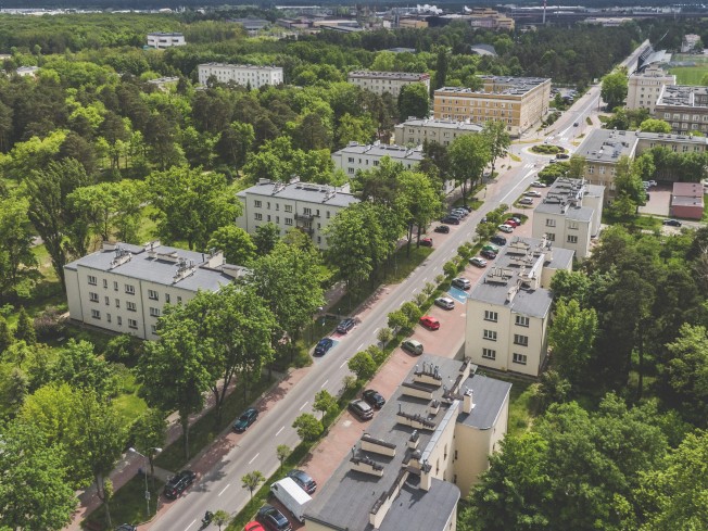
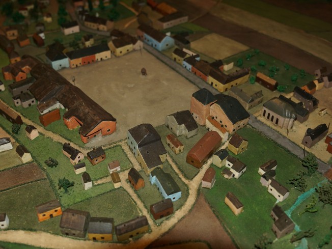
The construction of many factories and foundries gave a boost to the auxiliary industries and private enterprise. New good and relatively well-paid jobs attracted the unemployed from various regions of Poland. The demand for new accommodation in the dramatically growing towns was met by the wide-scale construction works, epitomized by the modern housing estates appearing nearby the newly emergent industrial plants. In time, some of such estates turned into fully-fledged towns. At the time of the work on the Central Industrial Region, such towns as Stalowa Wola, Nowa Dęba, Nowa Sarzyna and Poniatowa emereged, as well as smaller localities, such as Pustków, Niedomice and Krajowice.
The Polish state, as well its local government authorities, encouraged all that dynamic development by modern financial instruments. Investors were offered preferential loans and reduced prices for development land in the Central Industrial Region. Tax reliefs were introduced for new entrepreneurs. Also, study visits and presentations were held to promote the idea behind the Region.
The cultural heritage of the Central Industrial Region comprises all the planned – and only partially completed – undertakings of the Polish state in the years 1936–1939. This heritage, belittled throughout the many years to come, has recently won well-deserved appreciation, reflected in many significant publications. The year 2017 marks the 80th anniversary of the CIR. A unique way to celebrate it is to establish a tourist trail featuring some landmarks of the former Central Industrial Region, situated within the present-day Podkarpackie region.
The routes designed by our team are adjusted to allow for your leisure time and means of transport. Our routes feature not only the remnants of former plants and companies, but also the houses of old-time workers and engineers, as well as the luxury residences of the directors. You will see the community centres, health care centres, kindergartens and schools which used to cater for the emergent modern society. Travelling with us, you will see industrial heritage sites and uncommon engineering structures, such as elevators, water towers and dams. You will have an opportunity to visit museums and exhibition rooms displaying various items manufactured decades ago.
On your trips along the Central Industrial Region Trail, you will be accompanied by this Guidebook and the passion of the people behind it. This is its very first edition, which – we believe – will evolve and improve. This is why we encourage you to enter your comments on the special dedicated website. We believe that the map of the Trail will, in time, include new locations, as we would like it to comprise more distant areas of the former Central Industrial Region. However, we hope that even today our suggestions will meet your expectations, and your trips will give you many unforgettable memories.